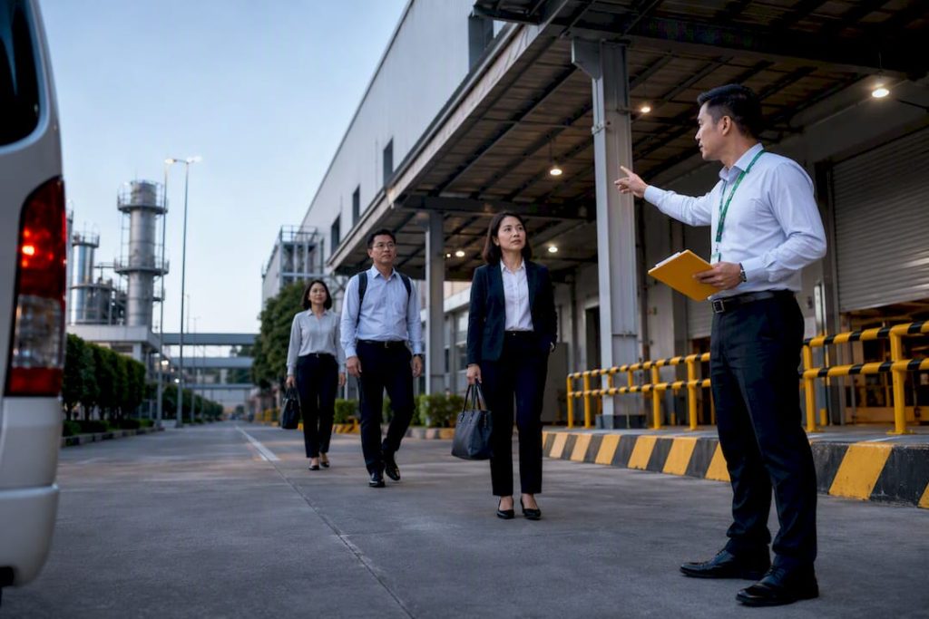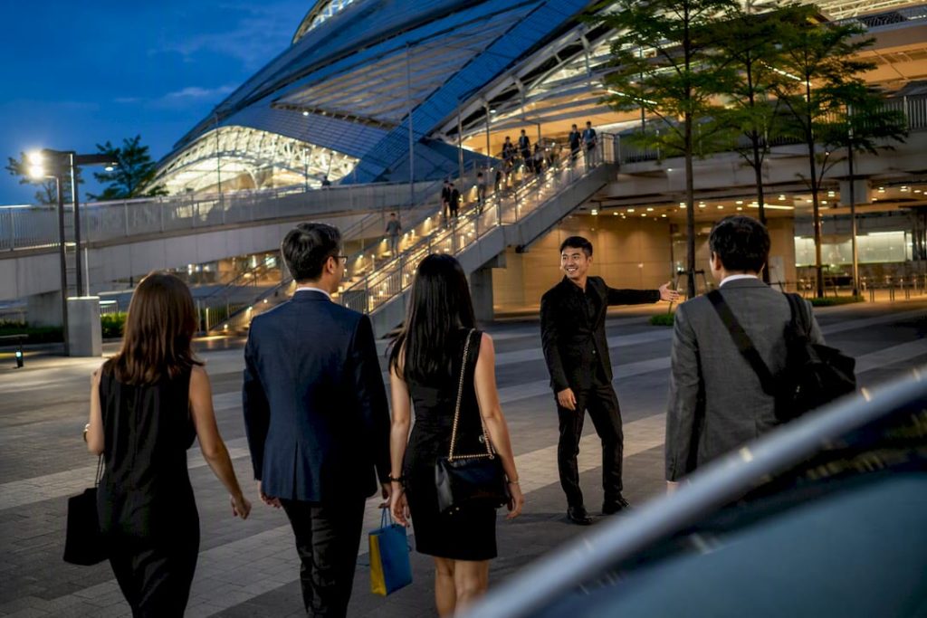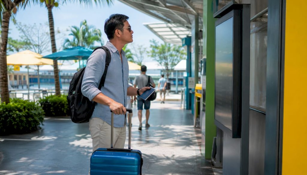

For light rain, take the MRT and stick to sheltered walkways within Walk2Ride range. For heavy rain or flash‑flood risk, switch to a taxi, private hire vehicle, or a pre‑booked chauffeured transfer, safer for footing and better for luggage. For any airport run or group trip, book ahead regardless of forecast. Check PUB’s flood alerts, MyTransport.SG, and Google Maps before you leave.
TL;DR:
- Public transport infrastructure is designed to handle most flood risks, with stations built to standards that prevent water ingress during storms.
- Real-time flood alerts, control center monitoring, and portable flood barriers enable operators to manage flooding without widespread service suspensions.
- Sheltered walkways reduce exposure during short walks but do not fully shield pedestrians from wind-driven rain or runoff at junctions.
- Checking PUB flood alerts, MyTransport.SG, and Google Maps before leaving provides the most reliable way to avoid flood-affected routes or stations.
- Booking private transfers for critical trips such as flights and events offers certainty and speed when heavy rain or flooding threaten public transport reliability.
Table of Contents
- Quick checklist: decide transport by trip type and rain severity
- Public transport in heavy rain: what to expect and how operators respond
- Sheltered walking and first/last‑mile: using Walk2Ride and its limits
- Real‑time tools and alerts to check before and during a trip
- If roads or stations are flooding: safety steps and immediate alternatives
- Planning travel for airports, events and group trips in wet weather
- Author perspective: local experience and why planning beats improvising
- Book a chauffeured transfer for certainty when the forecast turns
- Sources
- FAQ
Quick checklist: decide transport by trip type and rain severity
Singapore’s wet season punishes indecision. A ten‑minute downpour can turn a five‑minute walk to the MRT into a soaked shirt and a ruined pair of shoes, while a genuine flash flood can strand a bus route for an hour. The trick is matching your transport choice to both the trip and the rain, not defaulting to whatever you’d normally take.
Here’s a working decision matrix for the scenarios most people actually face:
Light rain (drizzle to steady but manageable rainfall):
- Short errands under 15 minutes: walk it, using covered linkways where your route has them.
- Commutes to work or school: MRT plus a Walk2Ride sheltered path is usually your fastest, driest option.
- Airport transfers: public transport is fine if you’re not hauling much luggage and have buffer time.
- Group outings: stick with your original plan, but carry umbrellas for the group.
Heavy rain or flash‑flood risk (PUB alert issued, visibly rising water, thunderstorm warnings):
- Short errands: delay if possible, or take a short taxi/PHV hop rather than walk.
- Commutes: check MyTransport.SG for service updates before leaving; have a backup route ready.
- Airport transfers: book a private transfer or taxi well ahead of your flight. Flooded roads and surge pricing both eat into your buffer.
- Group travel or events: a pre‑arranged charter avoids the scramble of five people trying to hail separate rides in a downpour.
The real decision point is luggage, mobility, and time certainty. If you’re carrying suitcases, travelling with someone who has mobility needs, or have a flight or meeting you cannot miss, public transport stops being the sensible choice the moment rain turns heavy. A booked vehicle costs more but removes the guesswork of whether a bus will still be running your route in twenty minutes.
Before you leave, run through this short pack list:
- Umbrella that actually withstands wind, not the flimsy pocket kind.
- A waterproof bag or dry sack for phones, documents, and electronics.
- Shoes with grip. Flooded pavements get slippery fast.
- Know which station exit leads to covered walkways, not just the nearest one.
- A phone charger or power bank, since checking alerts drains battery quickly.
None of this is complicated. It just needs deciding before you’re standing in the rain trying to work it out.
Public transport in heavy rain: what to expect and how operators respond
Singapore’s rail network is built to specific flood‑resistance standards, and that engineering does most of the heavy lifting before you even notice a problem. The Ministry of Transport has confirmed that stations and platforms must meet minimum crest and platform level requirements, designed to keep water out of critical areas even during intense storms. Operations control centres monitor conditions in real time, which is why a sudden downpour doesn’t automatically mean a shutdown.
Rail operators also rehearse for the worst. SMRT has run flood exercises at stations like one‑north, where staff deploy stackable, portable flood barriers at entrances within minutes of a high‑water alert from PUB. What this means practically: if you see barriers going up at a station entrance, staff are managing a specific access point, not necessarily shutting the whole line. Expect targeted entrance closures or rerouting instructions rather than a blanket service suspension in most cases.
Buses face a different set of constraints because they share the road with rising water. Operators track flood‑prone routes through their control centres, and drivers are guided on whether a road is still passable. If water rises above the bus floor or a stop is flooded, drivers are instructed not to let passengers alight there, sometimes continuing to the next safe point instead. That’s a safety measure, not a service failure, even if it feels disorientating when your stop passes by.
A few things help you read the situation correctly while it’s unfolding:
- Treat a service announcement mentioning “flooding” or “waterlogging” as a signal to check MyTransport.SG immediately, not just wait it out at the platform.
- If a bus doesn’t stop where you expect, assume it’s a passability decision, not a mistake, and check the next safe alighting point.
- Tapping in before boarding still applies even during disruptions. Don’t skip it assuming fare adjustments will sort themselves out.
- Station staff redirecting you to a different exit are usually managing a flood barrier deployment nearby, so follow the instruction rather than push toward your usual route.
PUB is also working on making this information more visible in real time. The agency plans to install more than 600 water‑level sensors islandwide by 2028, feeding directly into Google Maps flood alerts. Once that rollout matures, the gap between “it’s raining” and “this specific road is impassable” should shrink considerably, giving commuters a much sharper picture than a generic weather forecast ever could.
Sheltered walking and first/last‑mile: using Walk2Ride and its limits
The gap between your front door and the nearest MRT entrance is where most people actually get soaked, not the journey itself. LTA’s Walk2Ride programme addresses exactly that gap, and the network is bigger than most residents realise: LTA has built roughly 186 to 200 kilometres of sheltered walkways, with another 50 kilometres planned over the next five years to extend coverage further from stations.
That’s a genuinely useful buffer for short walks, but it isn’t a forcefield. Covered linkways are designed to bridge the last‑mile gap, not shield you from a full monsoon downpour. Wind‑driven rain still gets under most linkway roofs at an angle, and rooftop runoff from nearby buildings can create wet patches even where the walkway itself is technically covered. Treat sheltered walkways as reducing your exposure, not eliminating it.
Before you set off, a few habits make a real difference:
- Check your route on MyTransport.SG or Google Maps for sheltered path options before leaving, rather than assuming your usual route has cover.
- Favour interchange entrances that connect directly to a linkway network over the closest geographic entrance, even if it adds a couple of minutes.
- Watch for gaps at road crossings. Covered walkways almost always break at junctions, and that’s usually where people get caught out.
- If wind is strong, angle your umbrella and expect some exposure even under nominal cover.
Pro Tip: When two station exits both lead where you’re going, pick the one with the longest continuous linkway connection, even if it looks like a longer walk on the map. A dry ten‑minute walk beats a wet five‑minute one every time.
Real‑time tools and alerts to check before and during a trip
Three sources matter more than any others when rain is falling: PUB’s flood alerts, MyTransport.SG, and Google Maps. Used together, in that order, they cover almost every decision you’ll need to make.
PUB’s flood alert system is becoming genuinely predictive rather than reactive. The agency is integrating flood alerts directly into Google Maps, so a route that’s about to become impassable shows up before you’ve committed to it. A visible, location‑specific flood alert tends to change behaviour faster than a general weather warning ever does, because it tells you exactly which road or path to avoid rather than a vague “rain expected” message.
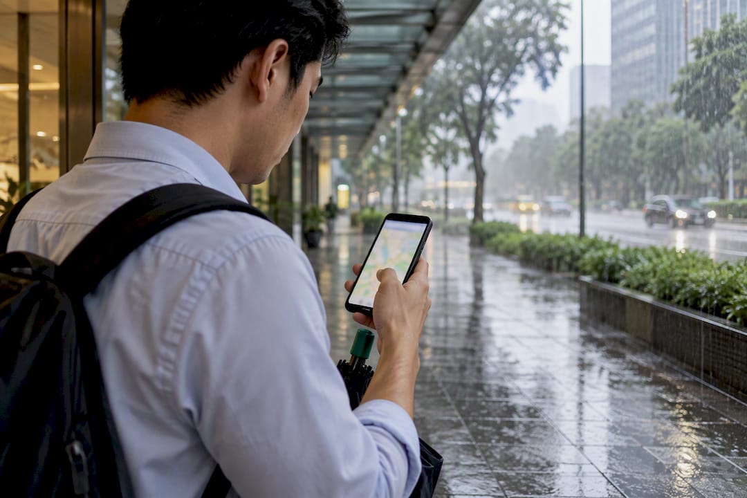
MyTransport.SG rounds this out with the practical, journey‑level detail PUB doesn’t provide. The app’s multi‑modal journey planner and push notification features let you compare bus, MRT, and walking combinations in real time, and flag service changes as they’re announced rather than after you’ve already left home.
A workable routine looks like this:
- Check PUB’s flood alert layer for your route before leaving, especially if you live or work near known flood‑prone pockets such as parts of East Coast or Bukit Timah.
- Open MyTransport.SG to confirm your planned bus or train route is running normally and check for any service alerts.
- Cross‑check Google Maps for live traffic and flood overlays if you’re driving or taking a taxi.
- If any of the three flags a problem, switch mode or delay rather than testing it yourself.
Following operator social channels for SMRT and the major bus operators adds one more layer, since they often post real‑time updates faster than the apps refresh. None of this takes more than two or three minutes, and it’s the difference between arriving dry and arriving furious.
If roads or stations are flooding: safety steps and immediate alternatives
If you’re on a bus and the stop ahead looks flooded, stay on board. Drivers are trained to keep passengers on the vehicle rather than let them step into rising water, and bus captains make passability calls based on real‑time checks, not guesswork. If you’re on foot and encounter flooding at a station entrance, follow staff instructions immediately. They’re often mid‑deployment of a flood barrier and redirecting you to a dry alternative entrance rather than closing the station outright.
Never attempt to walk or drive through visibly flowing floodwater, even if it looks shallow. Moving water hides depth and current strength, and drains and manhole covers can dislodge under pressure.
Once you’re safely clear, your alternatives depend on how urgent the trip is:
- If you have time, wait it out. Rail flood responses at well‑engineered stations tend to be localised and short rather than line‑wide.
- If your usual station is affected, check whether an adjacent station on a different line gets you close enough to walk the rest.
- If timing is fixed (a flight, a meeting, an event), book a taxi, PHV, or a chauffeured transfer as soon as you sense trouble, before surge pricing and demand both spike.
- If you’re stranded with no safe route and no transport available, that’s when you escalate to emergency services rather than waiting.
Pro Tip: If you call for help during a flood, state your exact location (nearest landmark or building, not just a street name), the type of hazard (rising water, blocked path, stranded vehicle), and how many people are affected. That’s the information responders need first, and giving it clearly saves time.
For genuine emergencies, call 995. For non‑urgent flood reports or to check localised conditions, PUB’s channels and the SCDF are the right first point of contact rather than guessing your way through it.
Planning travel for airports, events and group trips in wet weather
Airport transfers are the worst possible place to discover your usual transport plan doesn’t hold up in heavy rain. A flight doesn’t wait for a flooded road to clear, and dragging luggage through a wet MRT transfer with fifteen minutes of buffer is a genuinely bad way to start a trip. Booking a private transfer removes several variables at once: a fixed pickup point, a driver who handles your luggage, and no dependency on whether a particular bus route is still running.
Event travel carries similar risk with an added complication: you’re often coordinating other people, not just yourself. A few habits make weather‑proof event planning far easier:
- Build in 30 to 45 extra minutes of buffer for any wet‑season event, rather than the usual 15.
- Choose meeting points that offer genuine shelter, not just a covered bus stop that floods at the edges.
- For groups of four or more, arrange a single charter vehicle rather than relying on everyone finding separate taxis at the same time, in the same rain, at the same venue.
- Confirm your driver’s wet‑weather pickup procedure in advance. Where exactly will they wait if the usual pickup point floods?
When booking any transfer for a weather‑sensitive trip, ask directly about the operator’s wet‑weather protocol, their waiting policy if your flight or event runs late, and whether the booking can be adjusted without penalty if plans shift. Those three questions separate an operator who’s thought this through from one who hasn’t.
Author perspective: local experience and why planning beats improvising
Singapore’s wet season isn’t an occasional inconvenience. It’s a recurring feature of daily life that most people plan around instinctively, right up until the day they don’t. The commuters who get caught out aren’t the ones who ignored the forecast. They’re the ones who assumed their usual route would hold, the same way it always has, and didn’t build in a backup.
That’s really the whole argument for pre‑planning: not fear of rain, but respect for how quickly a fifteen‑minute delay compounds into a missed flight or a ruined event. Operators like Kler Transport exist precisely for that gap, offering fleet flexibility and punctuality when public transport becomes the less certain option.
— Gurdip
Book a chauffeured transfer for certainty when the forecast turns
Public transport handles most rainy days fine. Where it gets shaky is exactly the trips where you can’t afford uncertainty: a flight, a client meeting, a wedding, a group heading to the same venue at the same time. Private chauffeured transfer services offer an alternative for those moments in Singapore, built around fixed pickup points, luggage handling, and reliable drivers.
For airport runs, Kler Transport’s airport transfer service covers both arrivals and departures with a driver waiting at a confirmed point, no scrambling for a taxi queue in the rain. For events, group outings, or staff transport, the hourly charter and minivan options scale from a single sedan to a full coach, so a group doesn’t end up split across five separate rides. Cross-border transfers to destinations such as Johor or Malacca are available on a booked, fixed-vehicle basis.
When you book, ask about wet‑weather pickup points and waiting policy up front. Full rates for transfers, hourly bookings, and charters are listed and confirmed at booking, so you know the cost before the rain even starts. Get your rain‑day trip locked in ahead of time rather than during it.
Sources
- Walking and cycling infrastructure | LTA
- Flash floods: what should drivers do? Safety tips for public buses
- Written reply by Minister for Transport S. Iswaran on flood management and adaptation measures for public transport systems
- SMRT carries out exercise at one‑north MRT station to counter flooding in stations
FAQ
What happens if I tap in before 7:45am?
Tapping in during weekday morning peak hours qualifies you for discounted fares under Singapore’s Travel Smart Rewards scheme, separate from any rain‑related disruption. If flooding delays your journey after tapping in, the fare adjustment for the trip is still handled normally by the fare system, not affected by the weather event itself.
Where should I go in Singapore if it’s raining?
Covered destinations like shopping malls, museums, and indoor attractions near MRT stations let you stay dry while still getting out, especially if you plan your route using sheltered walkways. Many malls connect directly to MRT interchanges, so you can move between attractions without stepping outside at all.
How do I apply for a transport subsidy?
Transport subsidies in Singapore, such as fare concessions for seniors, students, or lower‑income households, are administered through LTA and the Public Transport Council rather than a single universal application. Check the specific scheme’s eligibility criteria on the relevant government portal, since requirements vary by concession type.
Which transport app is best in Singapore during rain?
MyTransport.SG is the strongest single option because it combines a multi‑modal journey planner with real‑time push notifications on service disruptions. Pairing it with Google Maps, which is gaining PUB’s flood alert integration, gives you both journey planning and localised flood warnings in one workflow.
Is it worth booking a private transfer instead of public transport in heavy rain?
For airport transfers, events, or group trips, yes, since a booked vehicle removes the uncertainty of bus rerouting or station access changes during flooding. Kler Transport’s airport transfers start from SGD 65 for arrivals, with hourly charters available from SGD 50 per hour for groups or flexible itineraries.